

Controversy Over Arunachal, Aksai Chin in New UN Map: India Lodges Strong Protest
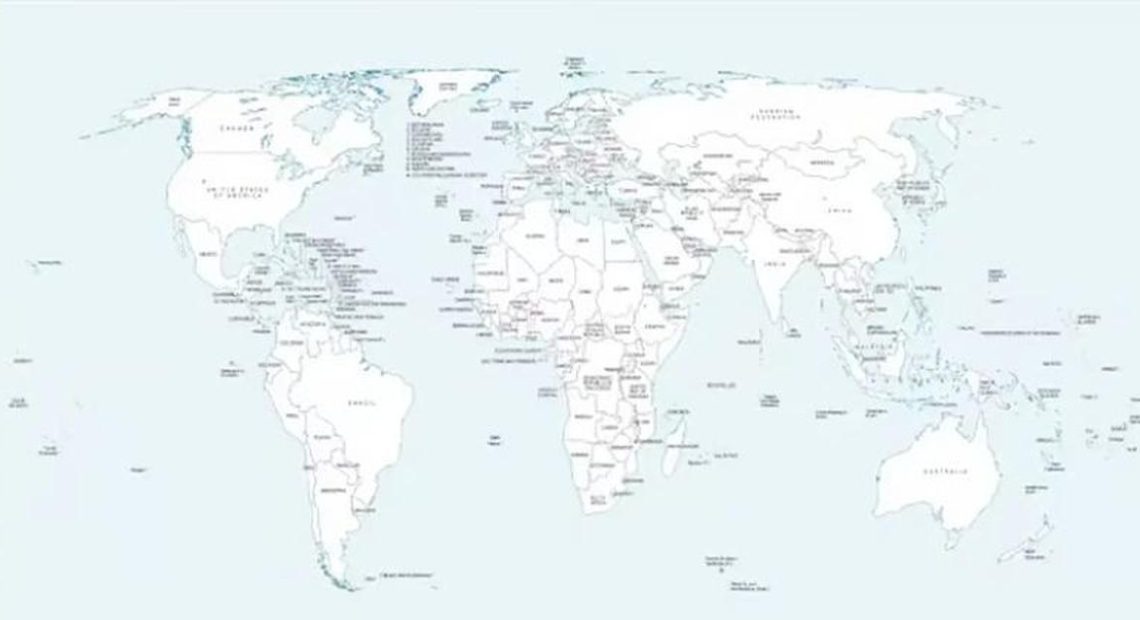
A border dispute between India and China has resurfaced over a recently released new world map by the United Nations (UN). New Delhi has strongly objected to the map after it depicted India’s Arunachal Pradesh and Aksai Chin as separate or disputed areas.
According to reports, in the new UN map released on July 1, Arunachal Pradesh was not shown directly as part of India but was marked with a separate boundary line indicating its location between Assam and China. Similarly, Aksai Chin, adjacent to Ladakh, was shown as a separate area between India and China. In addition, the Line of Control (LoC) in Jammu and Kashmir was shown with a dotted line, indicating that its final boundary remains undetermined.
After the issue came to light, the Indian government made it clear that there would be no compromise on the country’s sovereignty and territorial integrity. Indian Foreign Ministry spokesperson Randhir Jaiswal said in a statement that the Union Territories of Jammu and Kashmir and Ladakh, as well as Arunachal Pradesh, are integral parts of India. He said India would not accept any inaccurate or misleading depiction in the UN map that differs from India’s official map.
It is worth noting that although the UN General Assembly recently adopted a proposal concerning “Equal Earth” or “map revision,” India has made it clear that supporting the policy does not mean accepting any distorted borders. China has long claimed Arunachal Pradesh as “South Tibet,” while Aksai Chin is currently under Beijing’s control. Against this backdrop, the UN map’s depiction of the disputed areas has led to renewed tensions in South Asian geopolitics.